Extending the YAGO2 Knowledge Graph with Precise Geospatial Information
About YAGO2geo
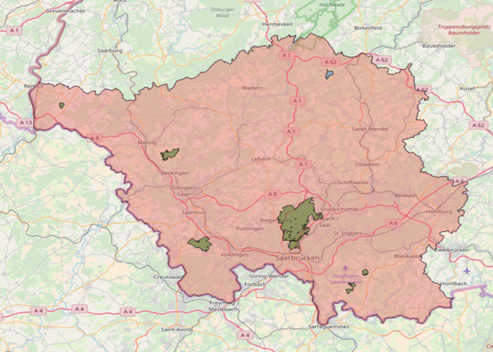
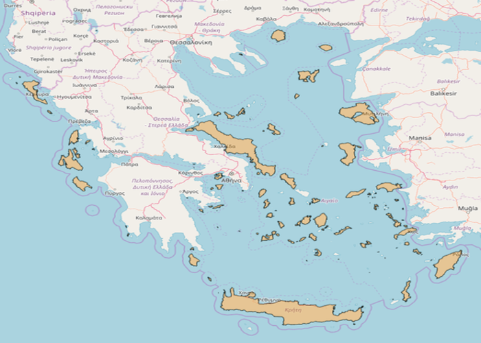
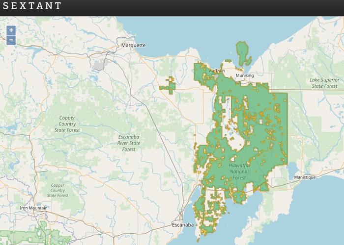
YAGO2geo is an extension of the YAGO2 knowledge graph with precise geospatial information. YAGO2geo extends YAGO2 with geospatial information from two types of sources. It contans administrative data taken from official datasets of three countries: the Greek Administrative Geography dataset, the administrative division dataset for the United Kingdom obtained from Ordnance Survey and Ordnance Survey Northern Ireland, and the administrative division dataset for the Republic of Ireland from Ordnance Survey Ireland YAGO2geo also contains geospatial information for the every country extracted from GADM. Last but not least, YAGO2geo obtains information for other types of features, such as lakes and streams, from OpenStreetMap.